Emergency Shelter
As of 1 p.m., Haywood County is closing its Emergency Evacuation Shelter. Thankfully, no one needed to take shelter overnight, and the shelter is empty at this time. Thank you to the dedicated staff who stayed all night to provide this important resource.
Staying Warm Without Power or a Generator
Bring everyone into one room. Smaller rooms are easier to keep warm. If possible, choose a south-facing room that will benefit from the warmth of the sun. If you have a wood-burning stove, gather in the room where it is.
Bundle up with quilts, sleeping bags, and dress in multiple, loose layers.
Camp out indoors. If you have a tent, you can set it up indoors and sleep inside it to trap heat.
Use a propane heater rated for indoor use. Follow all manufacturer directions carefully. Make sure you have working smoke and carbon monoxide alarms. Never leave heaters unattended and turn them off while you sleep.
Seal off window and door leaks. You can use commercial products, or simply hang blankets over drafty areas, and stuff towels under doors.
How to Run a Generator Safely
Follow all manufacturer guidelines. Read the manual. Every device is a little different.
Never run it in an enclosed space. Keep the generator outdoors, not in the house or garage.
> 20 feet away. Keep the generator more than 20 feet away from your home.
Direct exhaust away from your home or enclosed spaces. Always use a carbon-monoxide alarm.
Keep dry. Don’t run portable generators in the rain or allow them to sit in puddles.
Don’t overtax them. Most generators don’t have enough power to run multiple power-hungry appliances, but they will have enough to power one appliance, or a space heater and phone chargers. Connect appliances one-by-one.
Use the right cords. Use heavy-duty, outdoor-rated extension cords.
Stay grounded. Make sure the generator is properly grounded according to the manufacturer’s instructions.
Keep away. Keep kids and pets away from generators. They can get very hot. Never refuel them while hot.
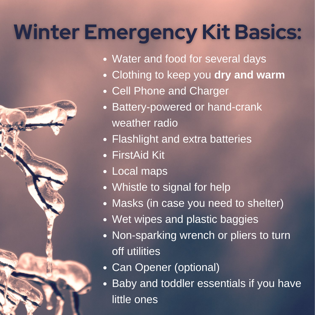
Winter Emergency Kit Basics
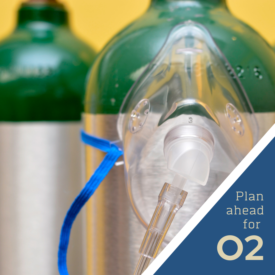
Prepare for O2 needs

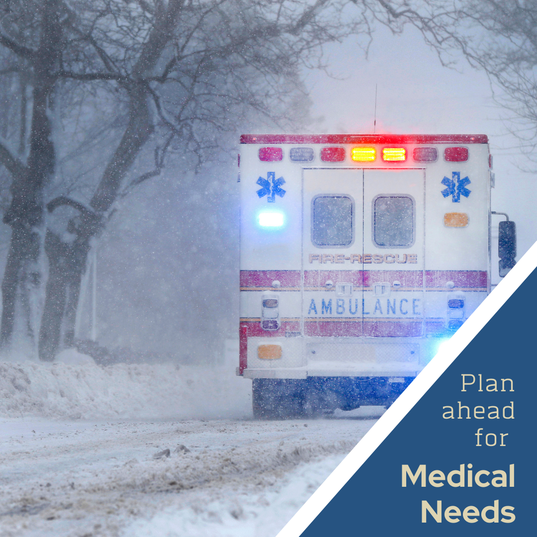
Prepare for Meds needs
Move down from higher elevations
Heating Safety
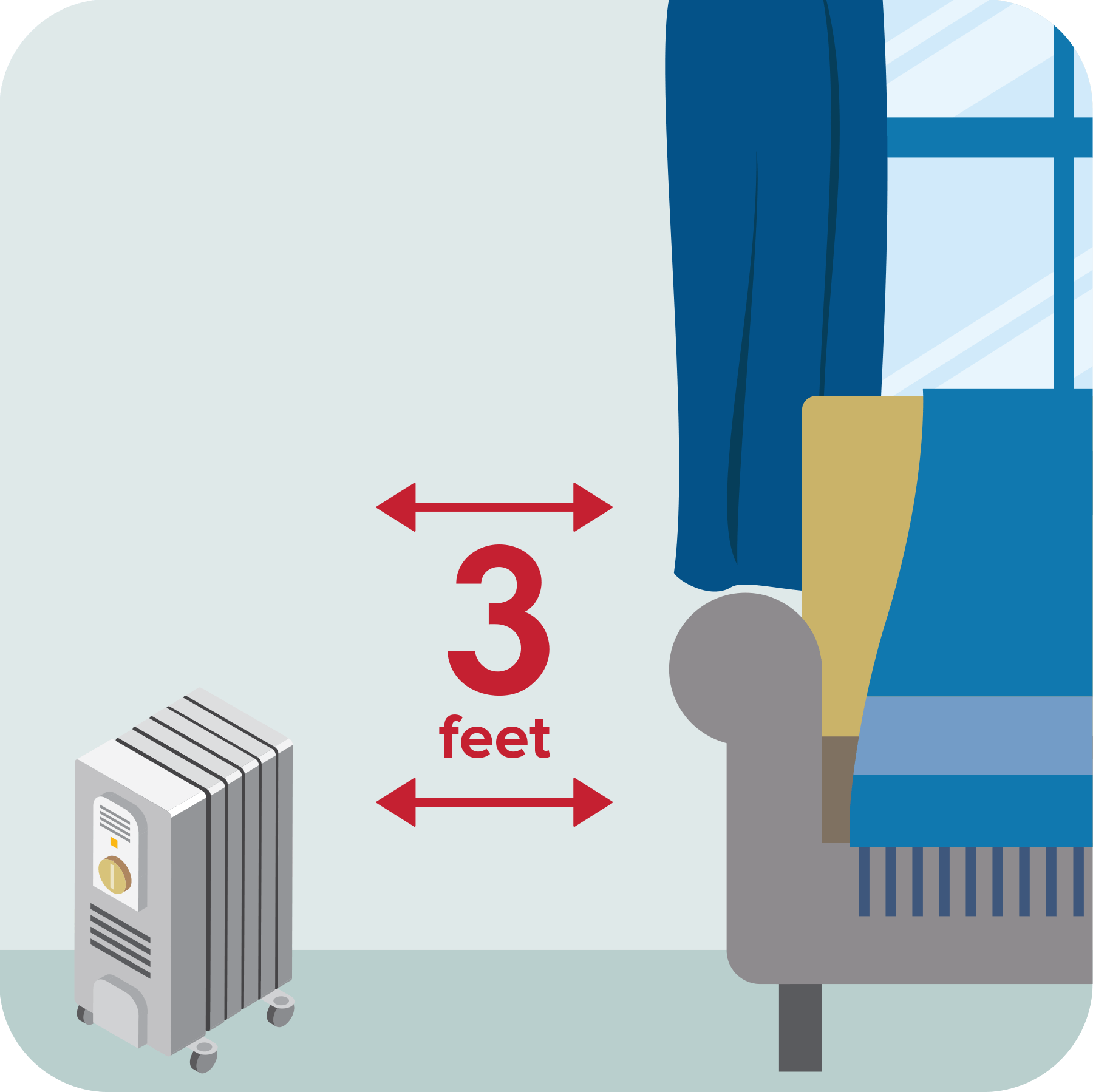
Keep 3 feet clear
Place portable space heaters at least 3 feet from anything that can burn.
Choose space heater location carefully
Place space heaters on a solid, flat surface and keep them and their electrical cords from things that can burn.

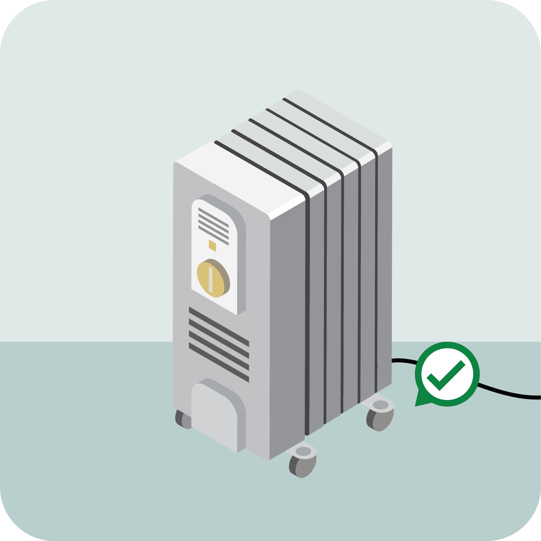
Plug space heater into wall
Inspect your space heater for cracked or damaged cords and broken plugs. Plug space heaters directly into wall outlets and never into an extension cord or power strip.
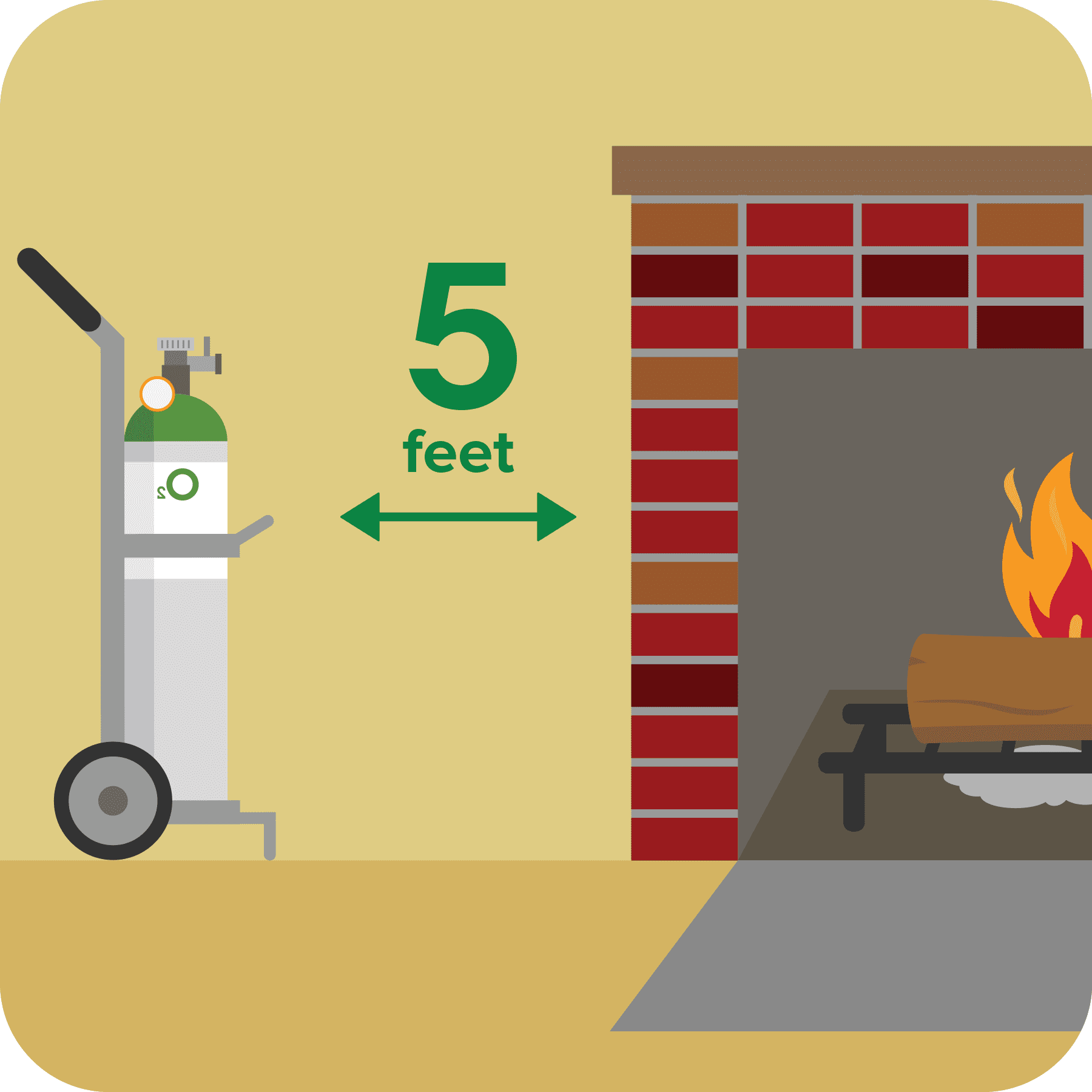
Keep Oxygen 5 feet away from heat
Keep oxygen tanks at least 5 feet from a heat source, open flames or electrical devices. Never use a candle, match, lighter or other open flame near medical oxygen.
Fireplace Ash Safety
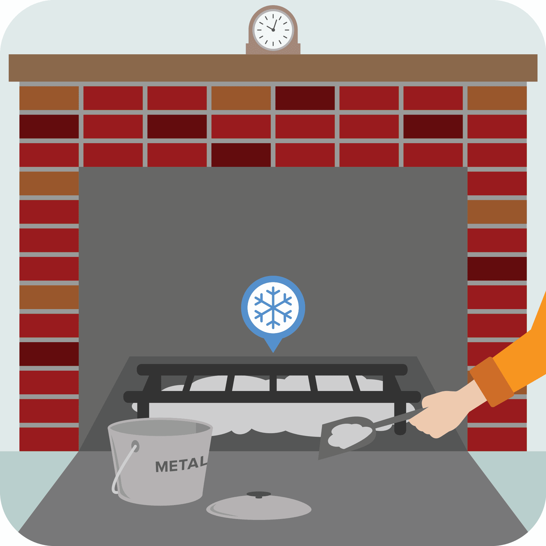
Allow ashes to cool before disposing of them. Place ashes in a tightly covered metal container and keep the ash container at least 10 feet away from the home and any other buildings. Never empty the ashes directly into a trash can.
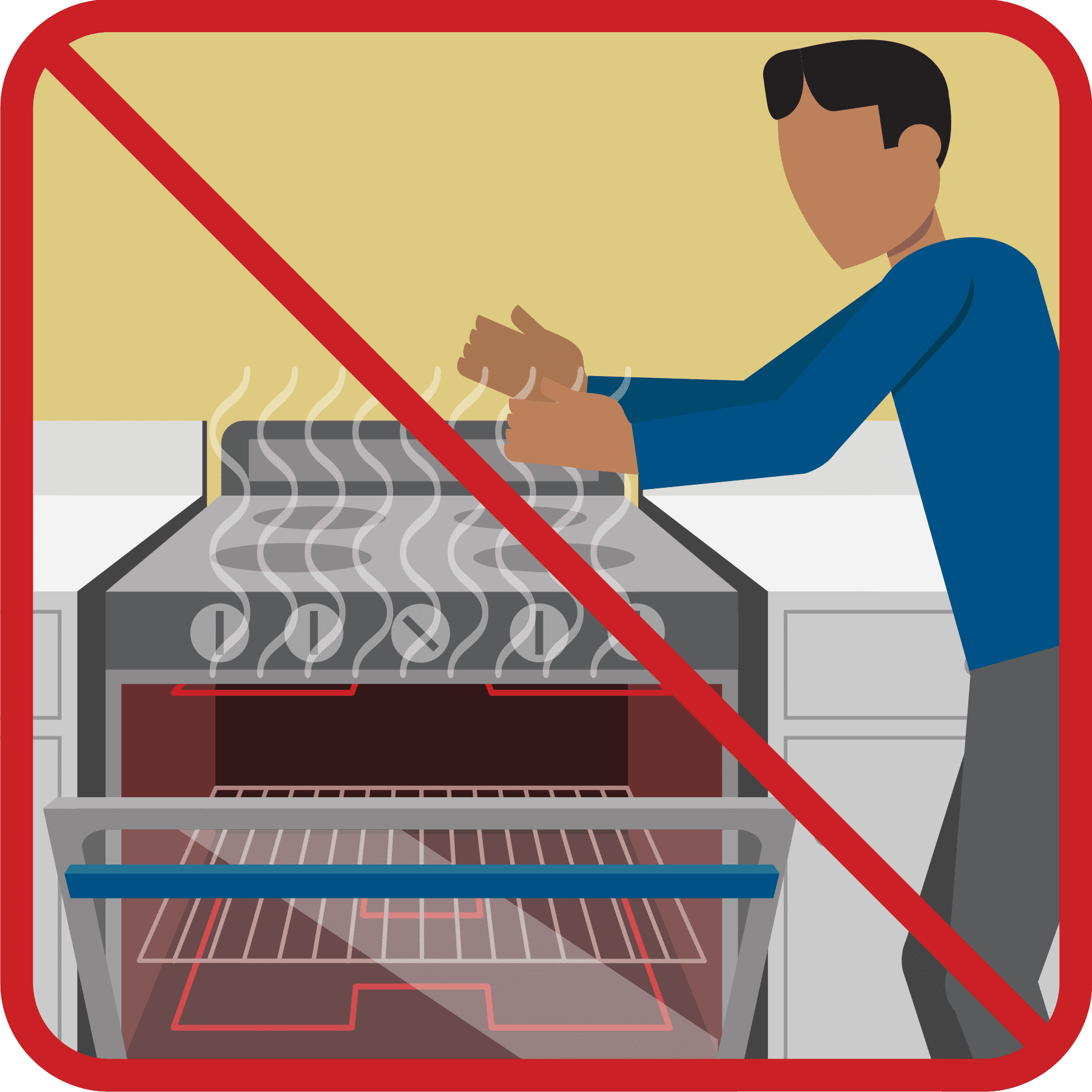
Don’t heat home with stove
Extreme Cold Safety


Dressing For Cold Weather
Chilly
- 1-2 top layers
- Long bottom layer
- Warm shoes
- Outer layer to keep out wind/wet
Cold
- 2-3 top layers
- 1-2 bottom layers
- Warm hat
- Gloves
- Boots
- Outer Layer to keep out wind/snow
Extreme Cold
- 3+ top layers
- 2+ bottom layers
- Warm hat
- Gloves
- Boots / Extra socks
- Face Mask
- Outer layer to keep out snow
Warning Signs of Hypothermia
- Confusion
- Shivering (will stop at later stages)
- Difficulty Speaking
- Sleepiness
- Stiff Muscles
Winter Weather Words to Know
Winter Storm Watch
TAKE ACTION. Heavy snow, sleet, or ice is expected! Confidence is high that a winter storm will cause significant impacts within 24 hours.
Winter Storm Warning
BE PREPARED. Heavy snow, sleet or ice is possible. Confidence is growing that severe weather could arrive in the next 24-48 hours.
Winter Weather Advisory
Wintry weather is expected. Residents should exercise caution — light to moderate amounts of snow, sleet, or freezing rain are expected within 24 hours, causing travel difficulties.
Current National Weather Service Advisories

Drive Like a “Dad” This Winter
Winter Driving Tips
