Storm Guidance
Move down from higher elevations
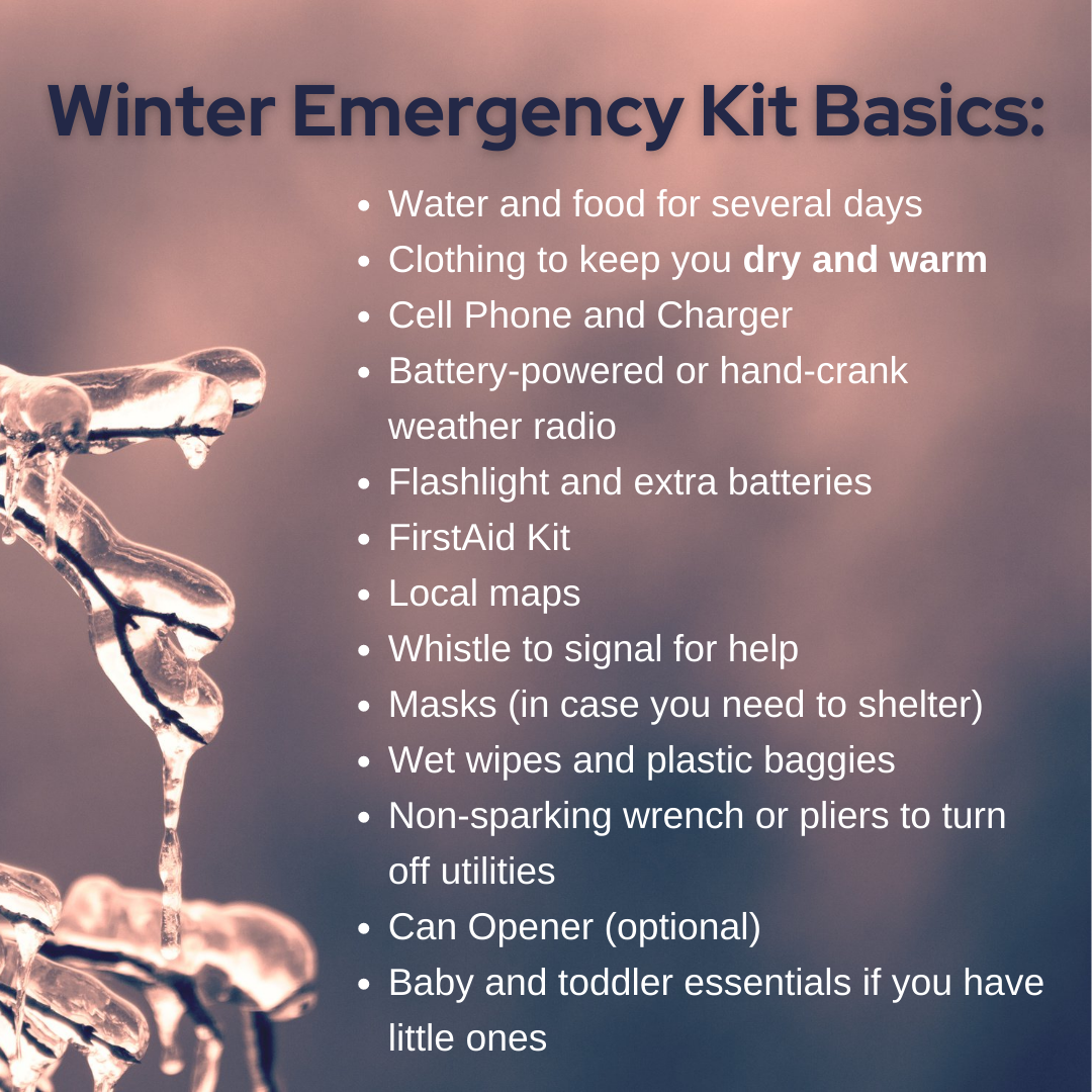
Winter Emergency Kit Basics

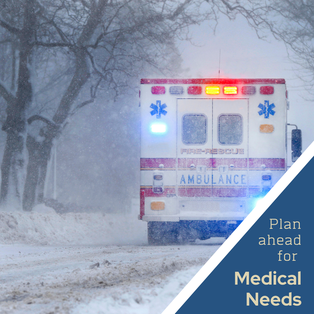
Prepare for Meds needs
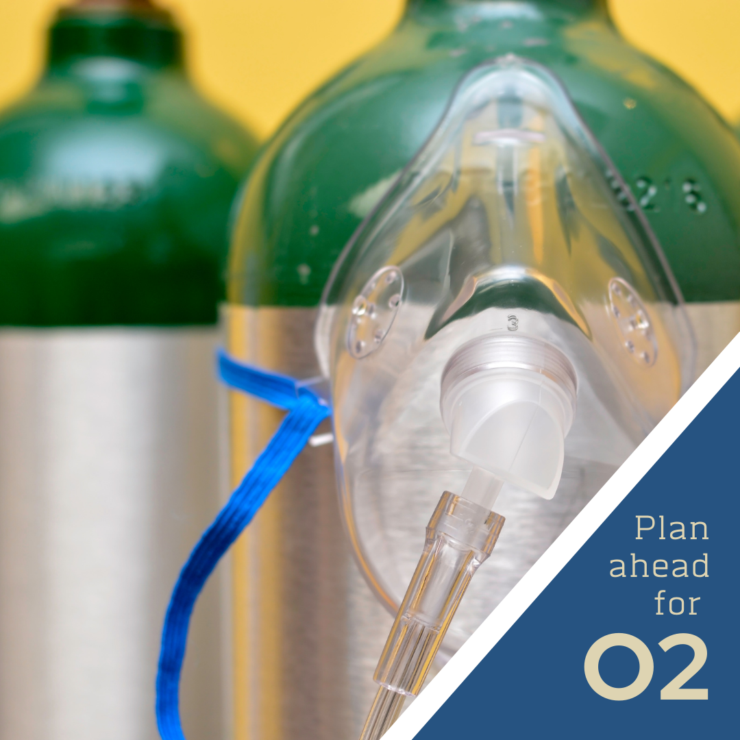
Prepare for O2 needs
Heating Safety
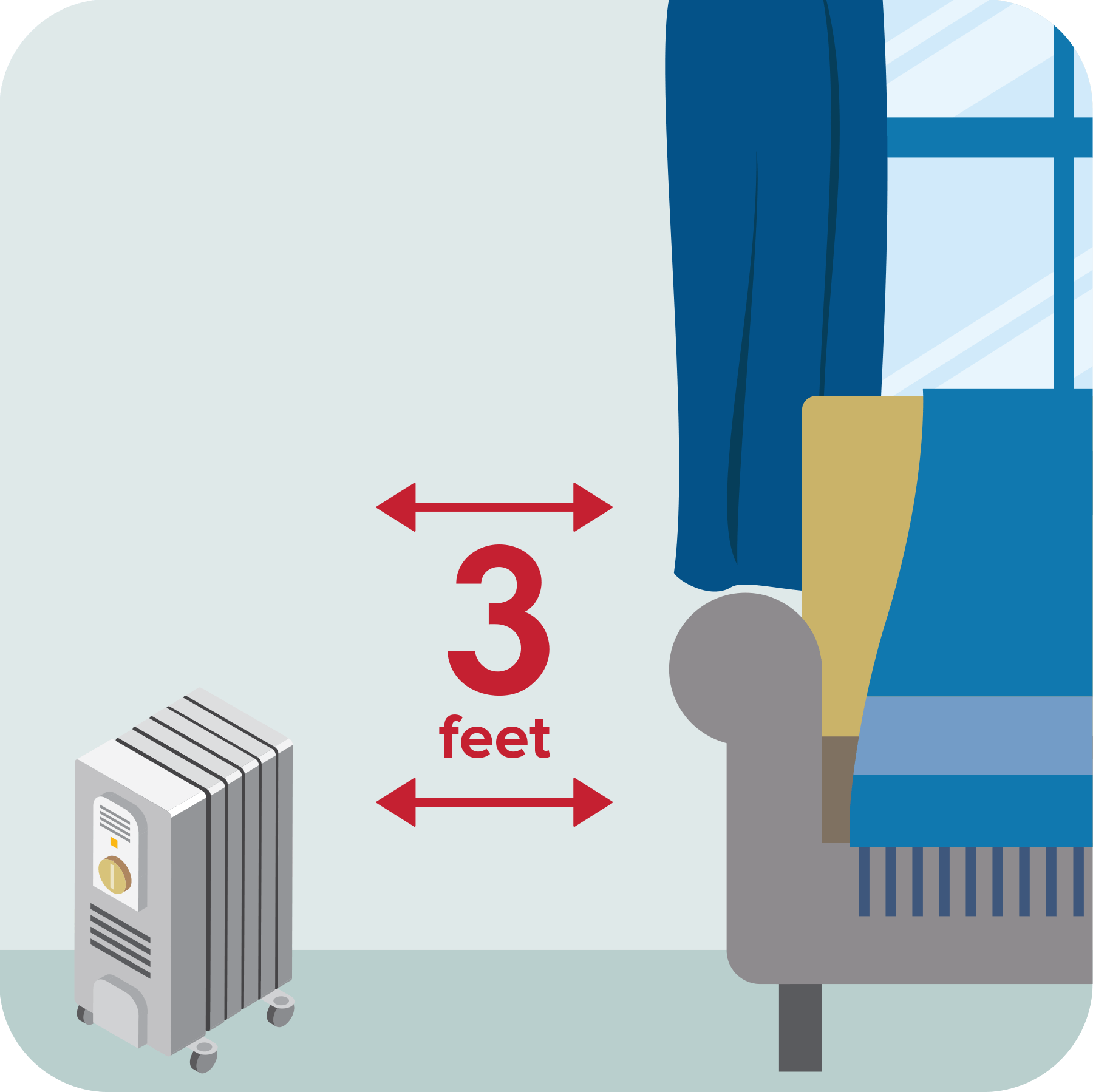
Keep 3 feet clear
Place portable space heaters at least 3 feet from anything that can burn.
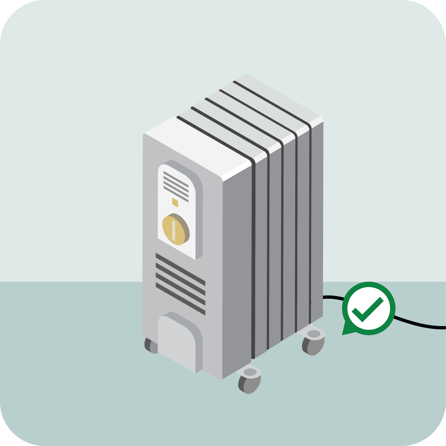
Choose space heater location carefully
Place space heaters on a solid, flat surface and keep them and their electrical cords from things that can burn.

Plug space heater into wall
Inspect your space heater for cracked or damaged cords and broken plugs. Plug space heaters directly into wall outlets and never into an extension cord or power strip.
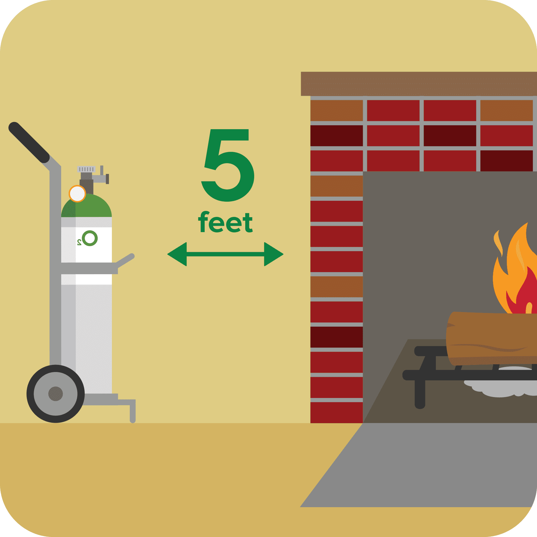
Keep Oxygen 5 feet away from heat
Keep oxygen tanks at least 5 feet from a heat source, open flames or electrical devices. Never use a candle, match, lighter or other open flame near medical oxygen.

Fireplace Ash Safety
Allow ashes to cool before disposing of them. Place ashes in a tightly covered metal container and keep the ash container at least 10 feet away from the home and any other buildings. Never empty the ashes directly into a trash can.
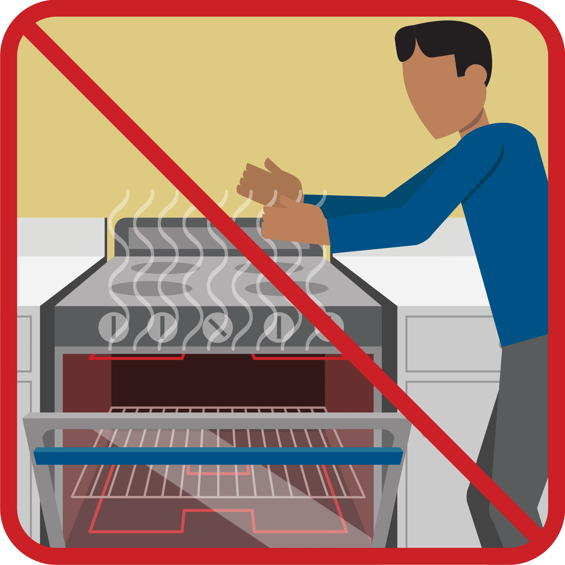
Don’t heat home with stove
Extreme Cold Safety

Dressing For Cold Weather
Chilly
- 1-2 top layers
- Long bottom layer
- Warm shoes
- Outer layer to keep out wind/wet
Cold
- 2-3 top layers
- 1-2 bottom layers
- Warm hat
- Gloves
- Boots
- Outer Layer to keep out wind/snow
Extreme Cold
- 3+ top layers
- 2+ bottom layers
- Warm hat
- Gloves
- Boots / Extra socks
- Face Mask
- Outer layer to keep out snow
Warning Signs of Hypothermia
- Confusion
- Shivering (will stop at later stages)
- Difficulty Speaking
- Sleepiness
- Stiff Muscles
Winter Weather Words to Know
Winter Storm Watch
TAKE ACTION. Heavy snow, sleet, or ice is expected! Confidence is high that a winter storm will cause significant impacts within 24 hours.
Winter Storm Warning
BE PREPARED. Heavy snow, sleet or ice is possible. Confidence is growing that severe weather could arrive in the next 24-48 hours.
Winter Weather Advisory
Wintry weather is expected. Residents should exercise caution — light to moderate amounts of snow, sleet, or freezing rain are expected within 24 hours, causing travel difficulties.
Current National Weather Service Advisories
Weather Updates
Hurricane Ian Update
Thursday, September 29, 2022Hurricane Ian is expected to make a second landfall over the South Carolina Coast near Charleston as a Hurricane. Confidence is high on Ian turning north, then northwest into the Carolinas and northeast Georgia Friday into Saturday....
Hurricane Ian update
Wednesday, September 28, 2022 Ian has made landfall in Florida, and we continue to monitor its track, which has changed very little. Rainfall totals in Haywood County range from 3-6 inches and will vary based on the track, which may change as it moves inland. NO...
Cat 3 Ian moves over Cuba
Tuesday, September 27, 2022 From NWS: Hurricane Ian is expected to remain a major hurricane as it enters the Gulf of Mexico. Ian is currently most likely to make landfall along the western FL peninsula early Thursday. Ian is expected to weaken to a depression by the...
")
Drive Like a “Dad” This Winter
Winter Driving Tips
