
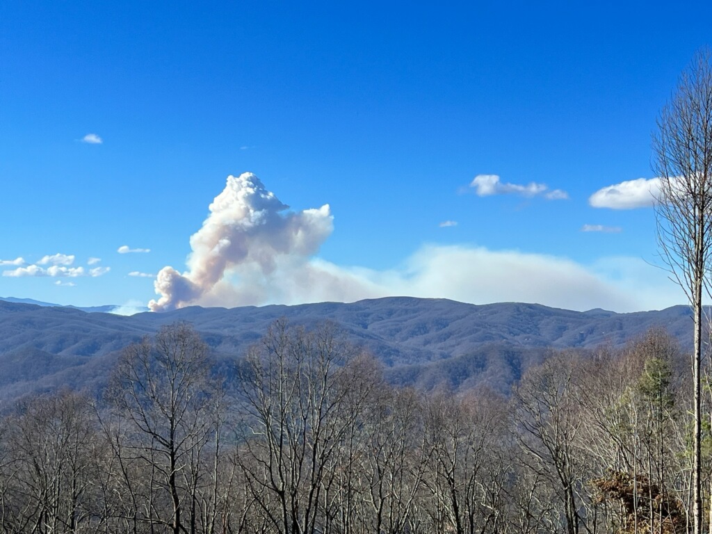
Daily update from NC Forest Service:
Friday, November 17, 2023
Size: 382 acres | Containment 0% | Total personnel: 30
Information Phone Lines: (828) 330-5441 | Hours: 8:00 am - 8:00 pm | Email:
2023.blackbear@firenet.gov | Informational Websites: https://linktr.ee/blackbearfire
HIGHLIGHTS:
The Southern Area Blue Incident Management Team assumed command of the fire yesterday at 1:30 PM, Thursday, November 16, 2023.
Firefighters are responding to the Black Bear Fire located in steep, rugged terrain near Interstate 40 at mile marker 3, in Haywood County on the Appalachian Ranger District of the Pisgah National Forest. The fire was reported around 9 AM yesterday, November 16, caused by a vehicle accident on Interstate 40.
Crews are assessing the area for the construction of primary, alternate, and contingency control hand and dozer lines from I-40 north to the Tennessee state line, as well as identifying needs for structural protection and other values at risk. Additional firefighting resources have been requested and are enroute.
WEATHER:
A cold front will approach the region today, with winds shifting from the southeast this morning to the west this afternoon between 11:00 AM to 1:00 PM. Clouds will gradually increase with wetting showers tonight beginning after sunset. Rain amounts of one-quarter inch to one-half inch are expected overnight. Clouds and showers may linger into the morning Saturday before clearing Saturday afternoon.
FIRE BEHAVIOR:
Surface fuels, steep slopes, and wind will support very active fire spread. Heavy fuel concentrations will cause flare-ups and accelerated fire spread rates. Fire behavior characteristics for the day include wind and slope aligned head fire spread including fingering runs on steep slopes. Expect active flanking fire with potential head runs. Sustained backing may produce additional head runs in creek bottoms.
SMOKE: Expect smoke when driving along I-40 near the fire.
EVACUATIONS: None
CLOSURES AND DELAYS:
For public and firefighter safety, the Appalachian Trai is closed from Interstate 40 to Max Patch. Road closures are in effect for Cold Springs Road and Brown Gap Road. Impacts to travel along Interstate 40 are expected. Check current road conditions at drivenc.gov.